Construction Drone Photography
For Marketing, Social Content and Site Progress
We have been using Andy for all of our drone work for a few years. The service and quality has always been outstanding. From build updates to development fly throughs, we wouldn’t trust anyone else on site with us! 100% recommend."
Hannah Ryle. Castle Green Homes. Source: LinkedIn
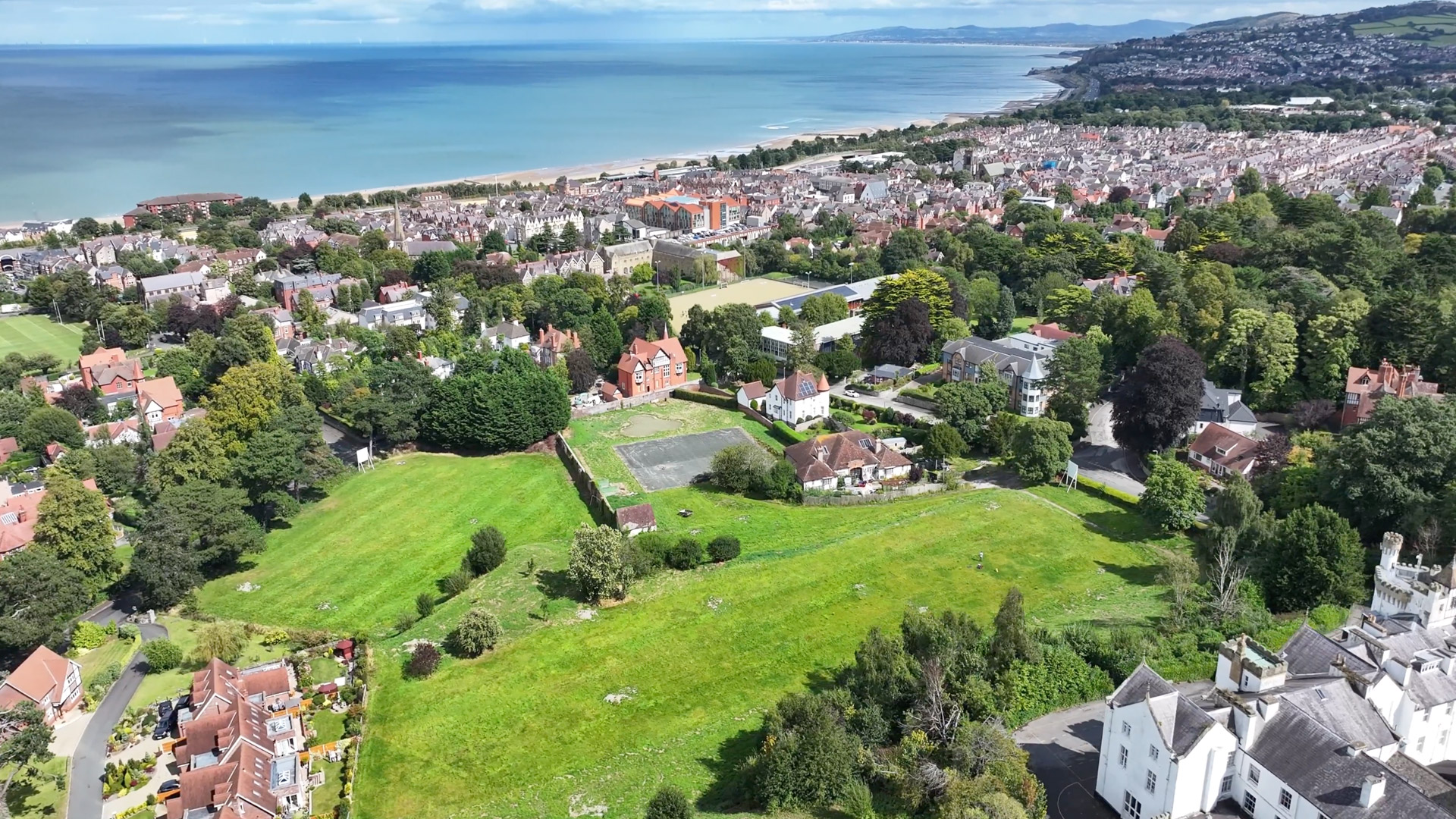
If you're an architect, builder or construction company looking for a way to monitor the progress of your project, drone photography and video are a perfect solution. And with recent advances in drone technology, it’s now less expensive and more accessible than manned flights which are all but a thing of the past for construction site monitoring.
Construction Show Reel
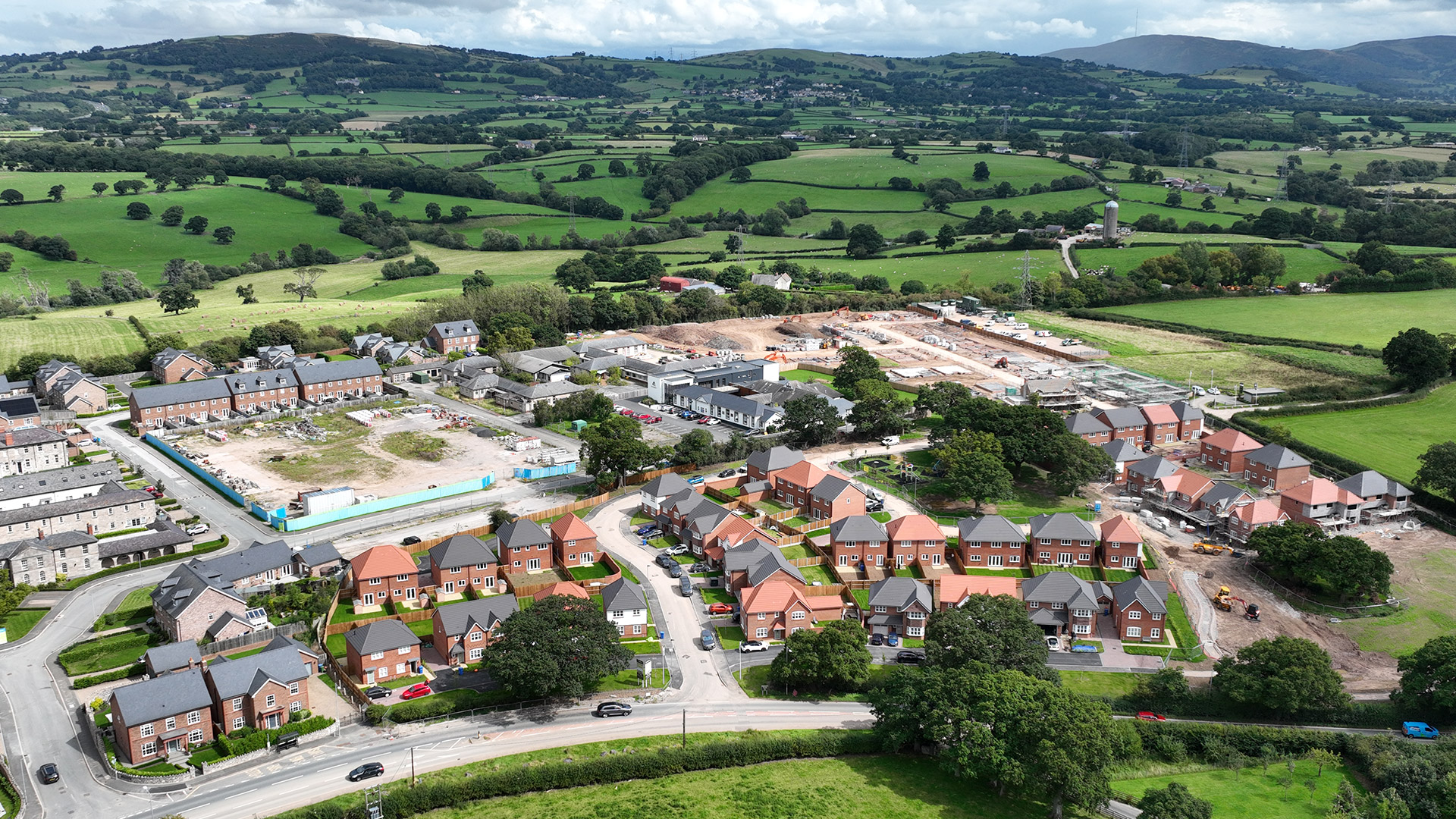
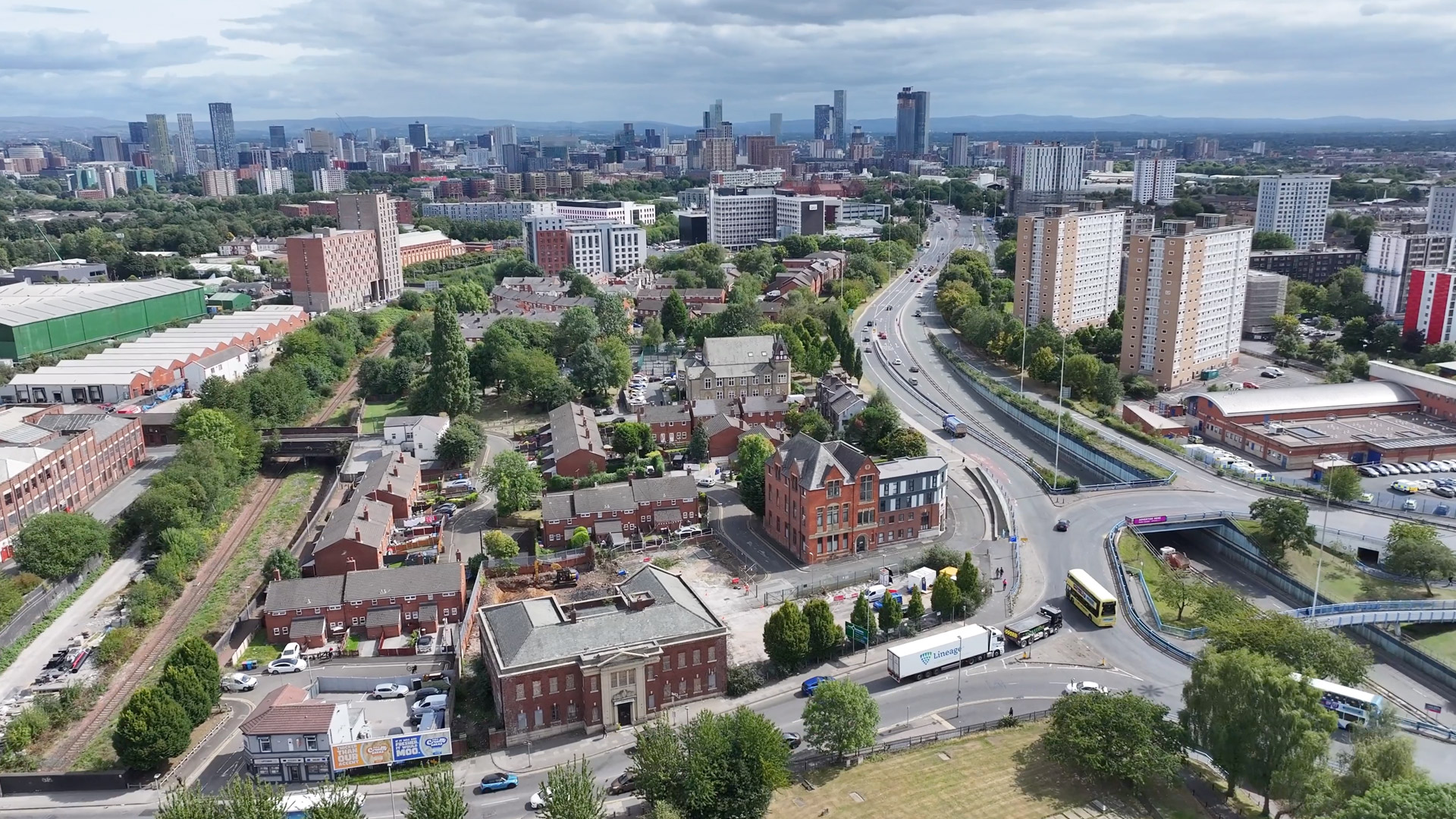
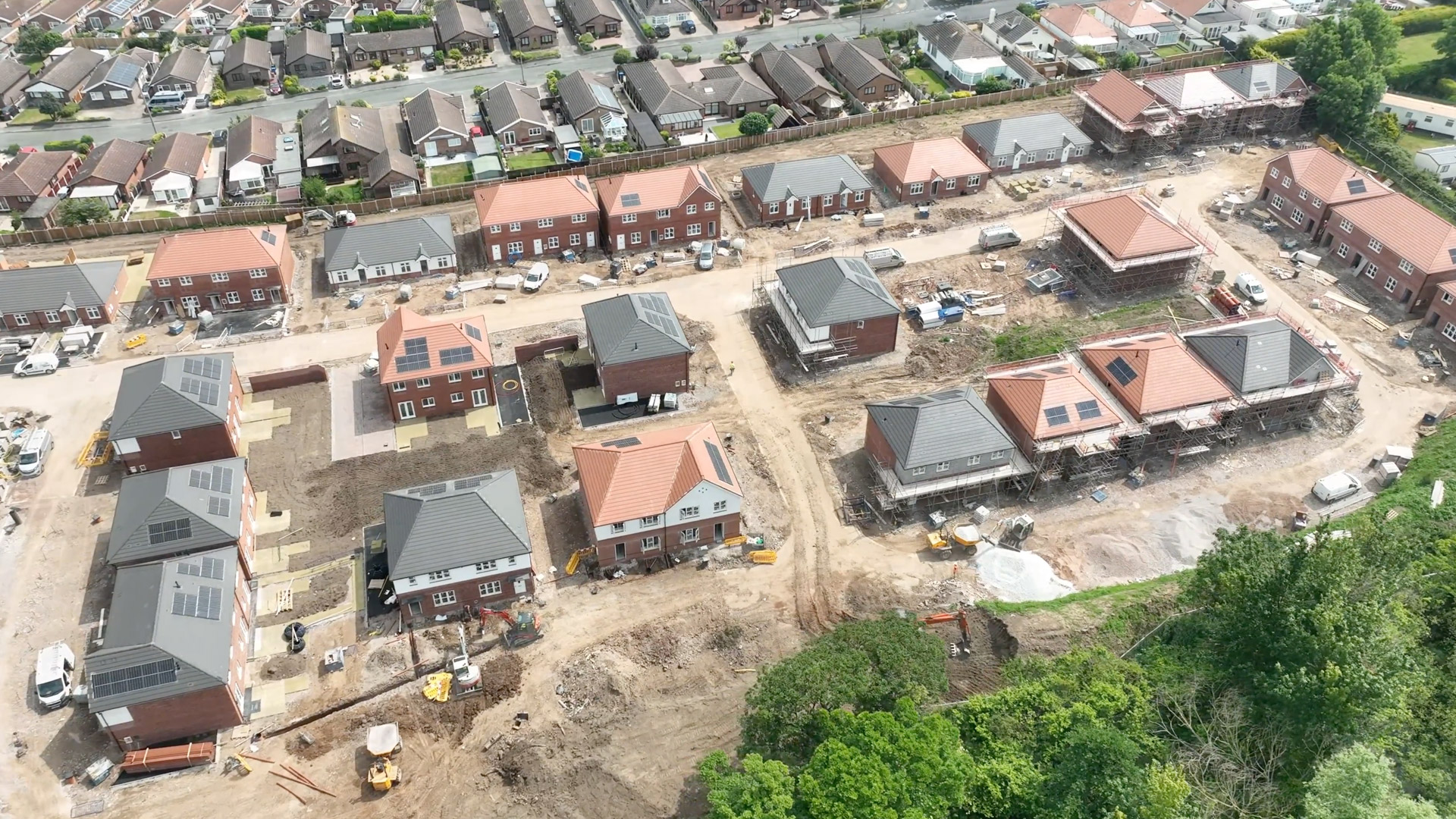
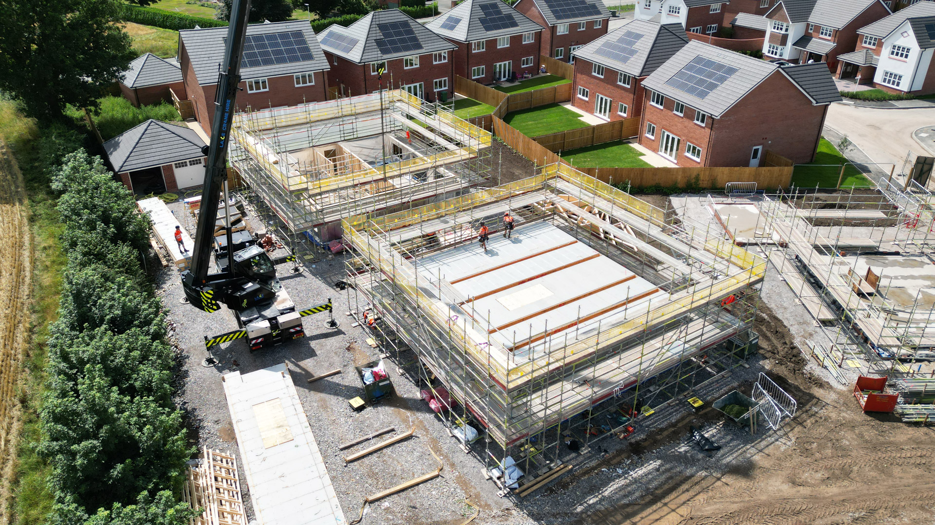
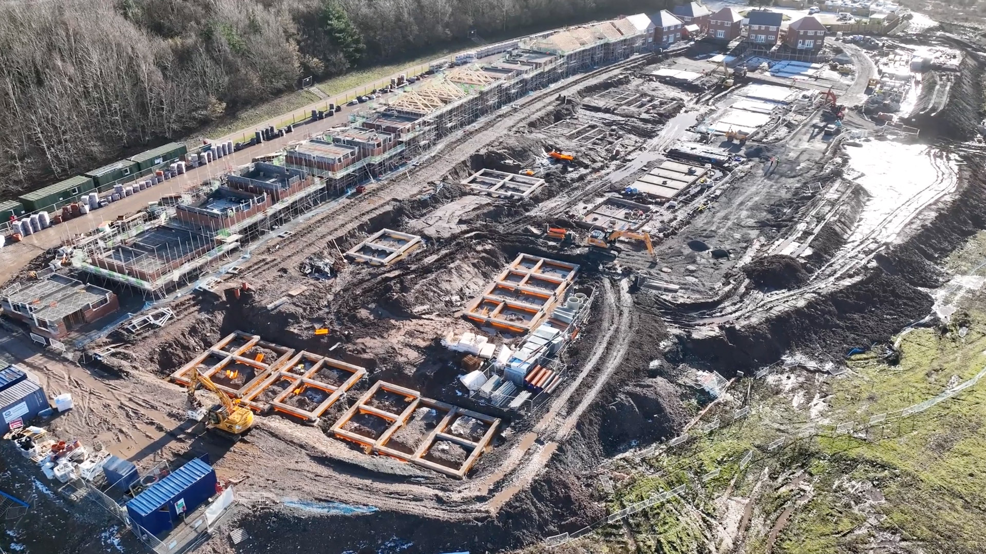
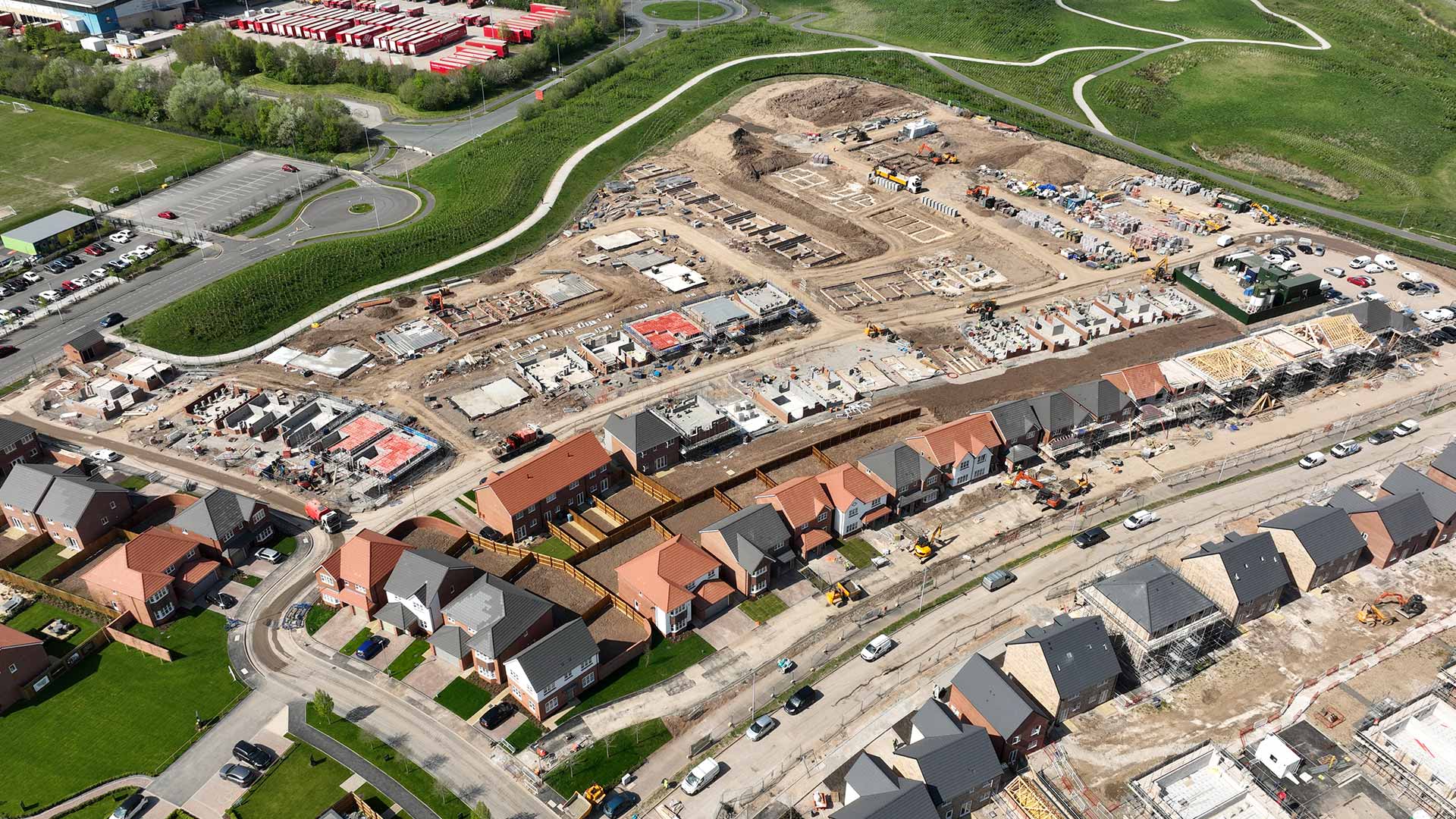
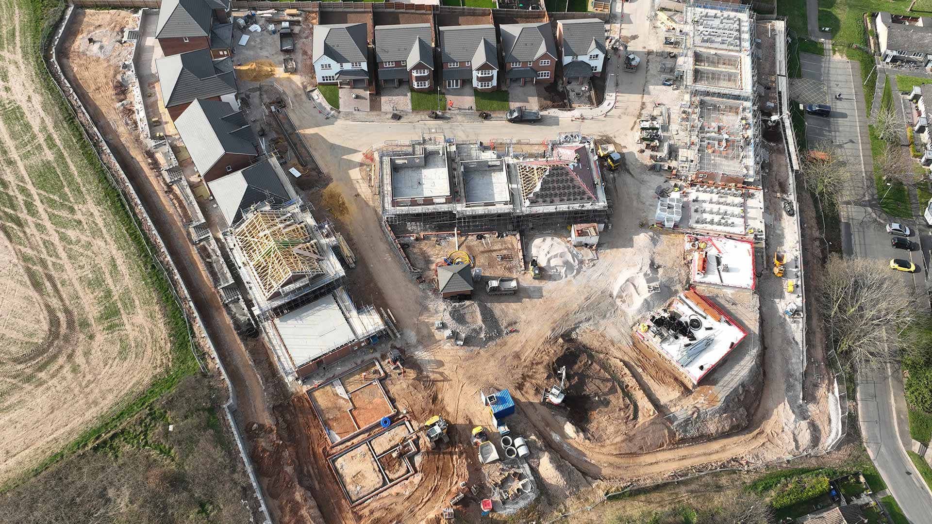
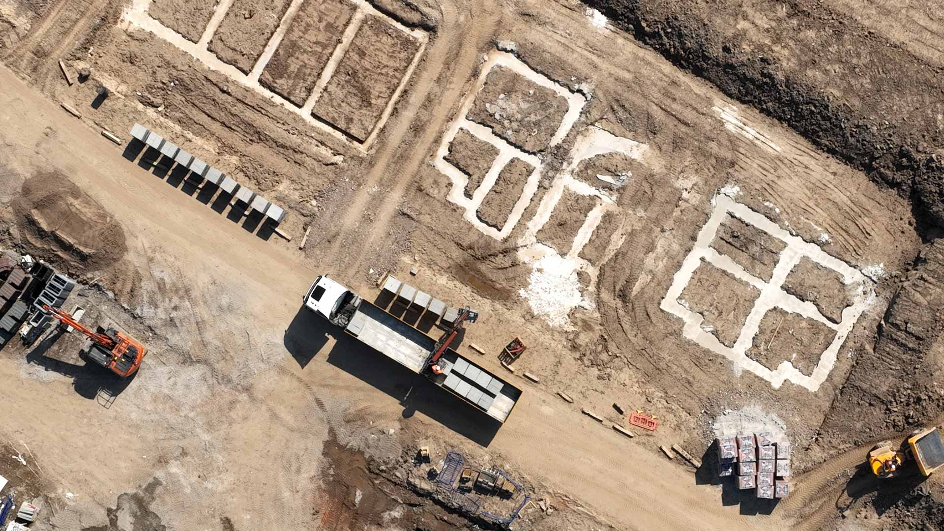
Regular construction site visits are a popular option. 4k video and high res images provide a visual overview of progress for managers, clients and investors. We can track build progress using still shots and video taken from the exact same angles each visit to help you meet deadlines and deliver on time.
As CAA qualified and insured drone operators, we are perfectly placed to document your construction project from planning through to final sign off.
Why choose Viewpoint?
- CAA qualified to carry out drone operations in urban areas
- Experienced with sites requiring special permissions to fly
- Comprehensively insured
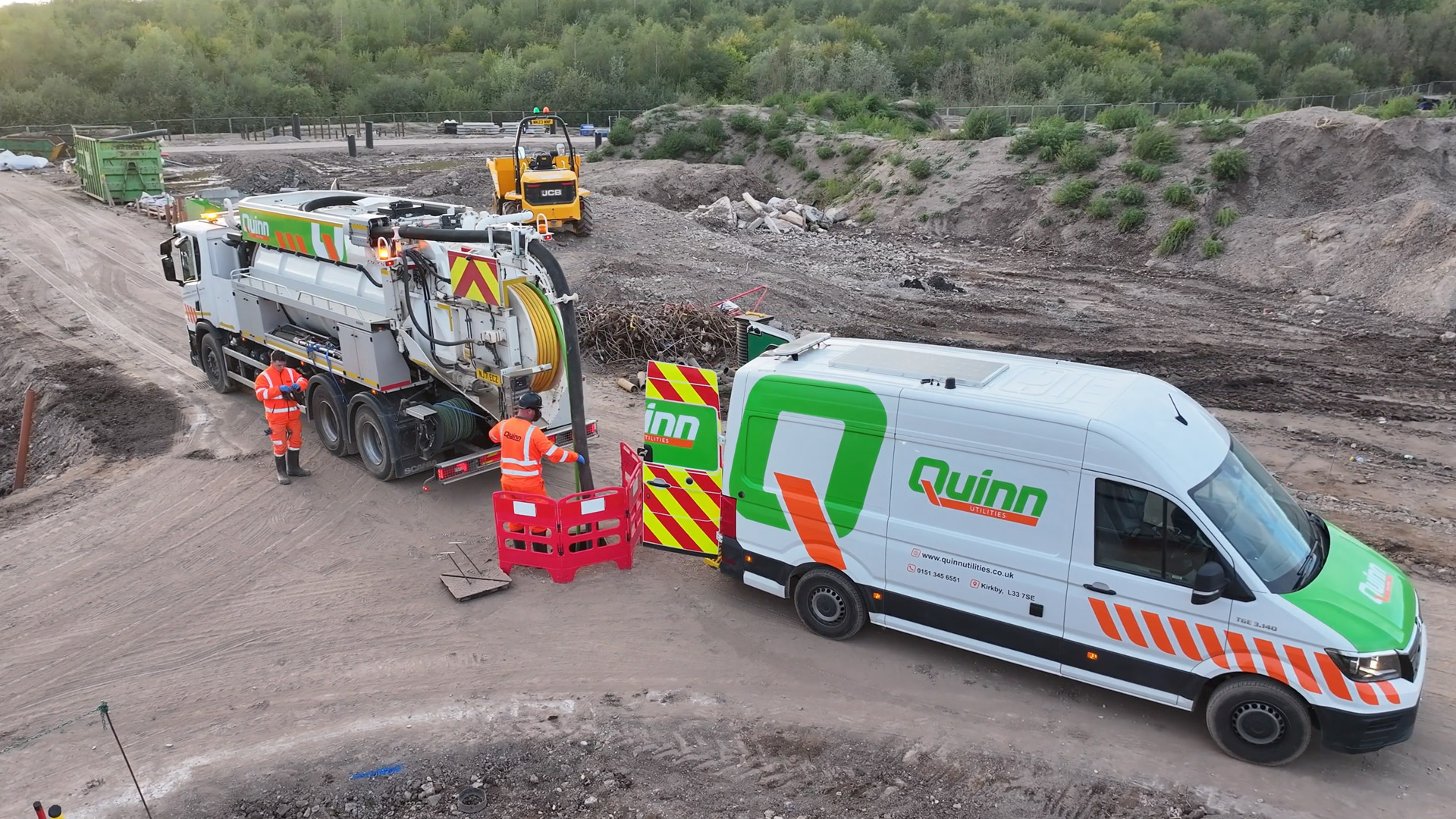
- Experienced in working on active construction sites
- In house video and photo editing
- Competitive daily rates
Progress updates
Bring your construction project to life with professional drone progress updates. We capture high-quality aerial footage at key stages of your build - giving you a clear visual record of progress, milestones, and achievements. Our videos not only support documentation and stakeholder reporting, but also make for powerful marketing content on LinkedIn, your website, or investor updates. Check out the examples below...
Drone timelapse videos
Dynamic drone timelapse videos are captured by repeating the same precise flight path on multiple site visits, producing perfectly matched footage that showcases your project’s transformation over time. The result is a seamless, cinematic record of progress, turning months of construction into a captivating visual story.
Each flight can be captured as part of your regular progress shoots, creating an effortless way to build a stunning archive of your work. These videos do more than document development. They highlight your team’s precision, expertise, and attention to detail.
Perfect for client updates, investor presentations, and marketing campaigns, dynamic drone timelapses bring your projects to life and help your brand stand out with powerful, engaging visuals that celebrate achievement and progress.
Orthomosaic mapping
Gain a powerful bird’s-eye perspective of your project with high-resolution orthomosaic imagery. By combining hundreds of precisely captured aerial photos, we create a single seamless image that shows your entire site in remarkable detail. These visuals make it easy to see progress at a glance and track changes over time, with clear month to month comparisons that bring development to life.
Orthomosaic mapping is an impressive way to communicate progress with clients, stakeholders, and investors. It provides a visually striking overview that enhances reports, presentations, and marketing materials, giving everyone involved a clear understanding of how the project is evolving. With every update, you build a compelling visual record of achievement, showcasing your site’s growth and your team’s capability with clarity and impact.


Aerial 360 tours
Aerial 360 tours are an immersive and efficient method for showing construction site progress. Hosted on our own platform, they can be posted on LinkedIn, or on your own website using the code provided once the tour is taken. They are also cost effective, taking only a short time on site to produce.
TELL US ABOUT YOUR PROJECT...
We have a lot of experience working on live construction sites in urban areas. If you need marketing images and video for commercial or residential property, click the button below, and leave us a few details about your project.
How much does construction site drone photography cost?
Construction site drone photography is best done at regular intervals, but in order to get the best value we would recommend once every 4 to 8 weeks. Costs can vary depending on location, and we always try to get the most out of a day by visiting multiple sites where possible. Contact us today for a bespoke quotation.
Why hire a professional Aerial Photographer?
‘Can’t we just do that ourselves?’ is often the question when considering most forms of photography these days. Everybody has a smartphone, right? And drones are widely available and easily purchased from many high street stores. The technology has evolved to a level where even lightweight entry level drones can provide 4k footage and pin sharp imagery.
But aerial photography comes with many rules and regulations, particularly in urban environments. The Civil Aviation Authority requires all drone operators intending to fly in urban areas to carry an advanced qualification - an ‘operational authorisation’ or a GVC. An A2 certificate will not suffice over a construction site. At Viewpoint we are qualified to GVC level. Pre-flight site surveys, risk assessments and weather reports all come together to assess each location prior to even setting foot on site. So we’re perfectly placed to carry out your construction site aerial photography.
Construction site photography Manchester
We’re based in Manchester, but we will travel throughout the North West, The Midlands, Yorkshire and North Wales. We’re more than happy to chat through your requirements, and provide a free estimate. Complete our enquiry form, or give us a call.


